
Click any map for large view and information
|
Click any map for large view and information |
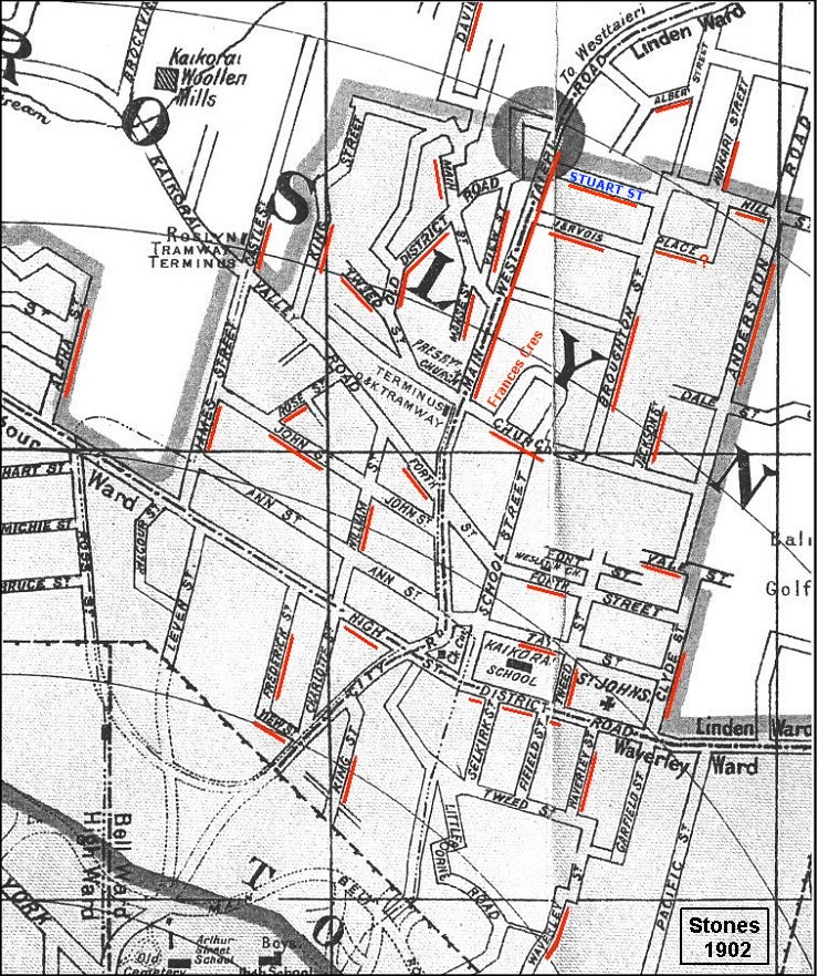 1902 Kaikorai area street map Localised coverage of the Ross Street to Maori Hill area and Town Belt to just below Wakari. ~ See also 1902 Kaikorai area street map (enlarged) This map covers Ross Street to Shetland Street in a larger view than the map above. More than half the Kaikorai street names were changed in the early 1900s. Click on this 1902 street map to switch forward & back between 1902 and 2007 street names. ~ 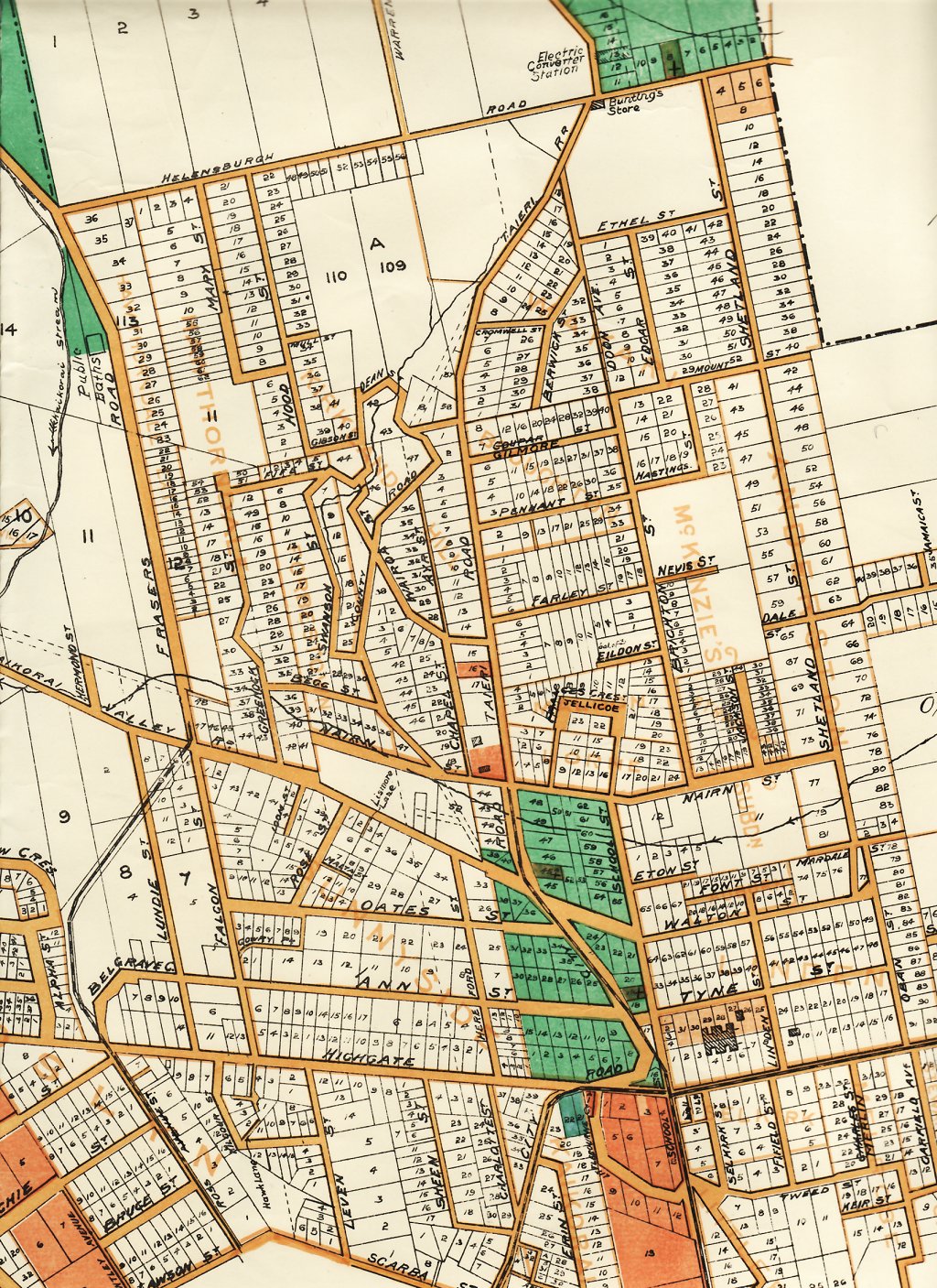 1913 Kaikorai area street map By this time almost all the street name changes had been made. ~ 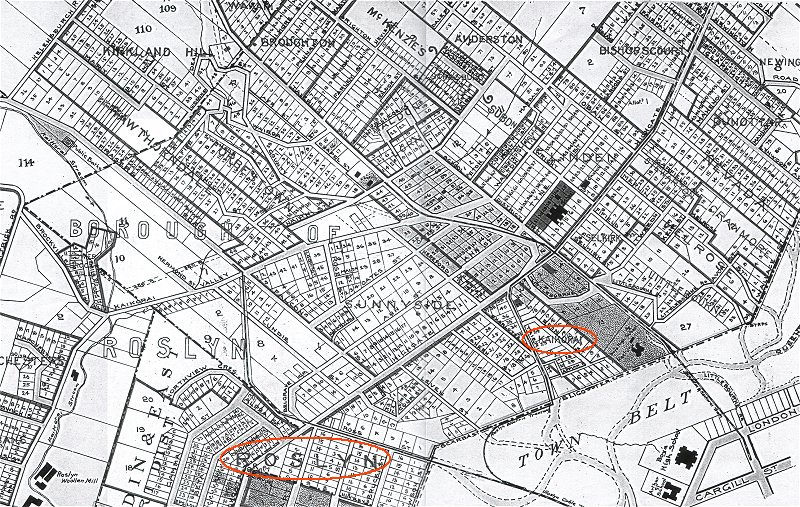 1919 Kaikorai area street map ~ 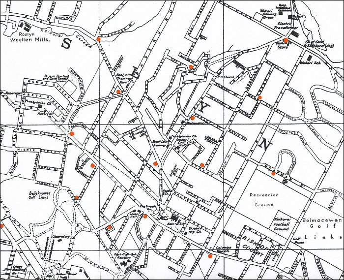 1935 Kaikorai area street map
~ 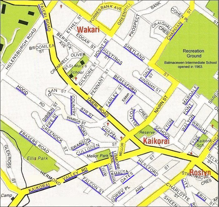 1956 Kaikorai area street map Current Google Map of Kaikorai 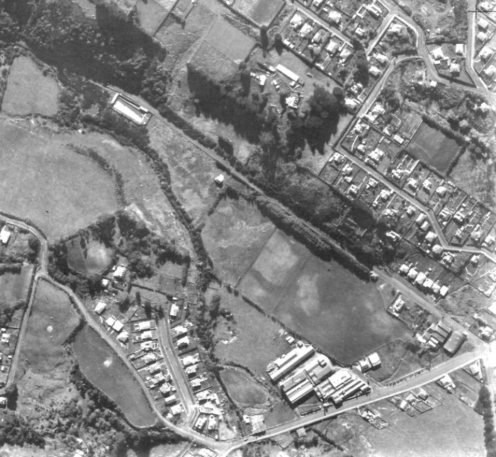 Baths at Frasers Road maps showing location of baths pre 1950. ~ 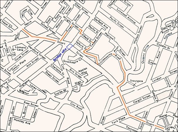 Diesel Bus Route During construction of Stuart Street Extension post 1950. ~ 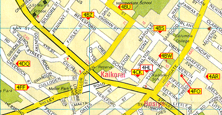 Kaikorai Ham Radio Operators Dunedin Tram Routes Diagram showing routes from 1879 - 1905. Diagram showing routes from 1900 - 1956. |
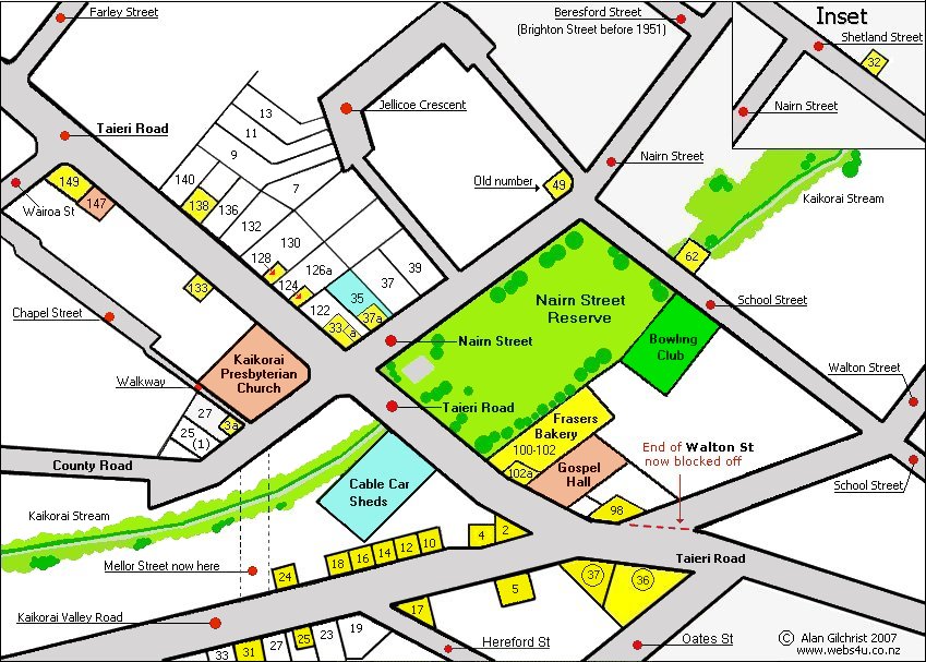 Kaikorai Shop Locations until 1950 A sketch plan of the area showing shop locations and what years different proprietors were there. ~ 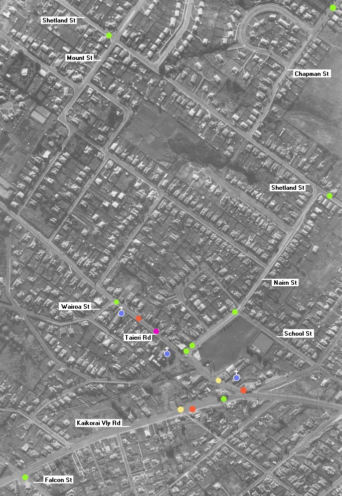 Kaikorai Shop Map - 1947 aerial view overlaid with spots showing where shops were located, sadly virtually all are now gone. ~ 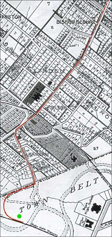 Maori Hill Electric Trams View map of tram route. ~ 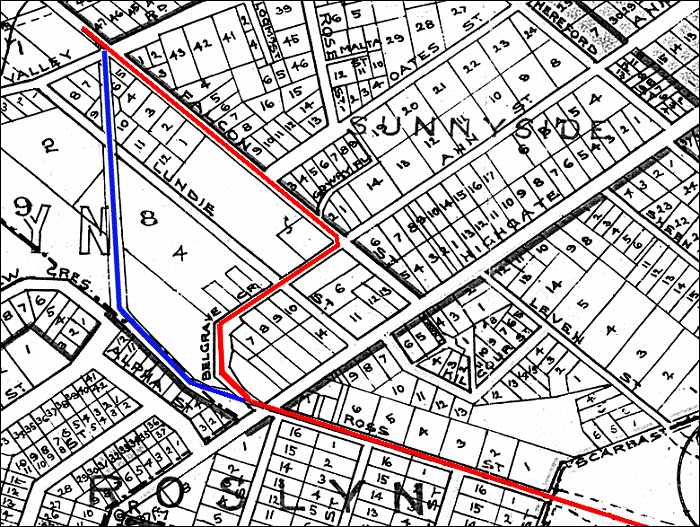 Roslyn Cable Car Route Original 1900 route and 1906 change of route. ~ 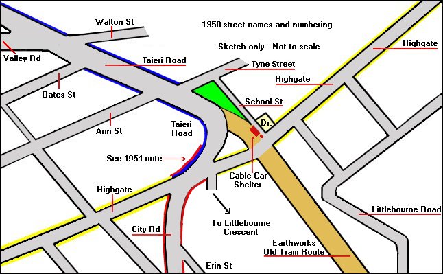 Roslyn Shopping Area Changes Compare views before & after the cable cars with changes of street names & numbers. ~ Roslyn Township Shop Locations - 1909 A sketch map shows shop Locations and list of businesses with cable car and electric tram routes shown. ~ 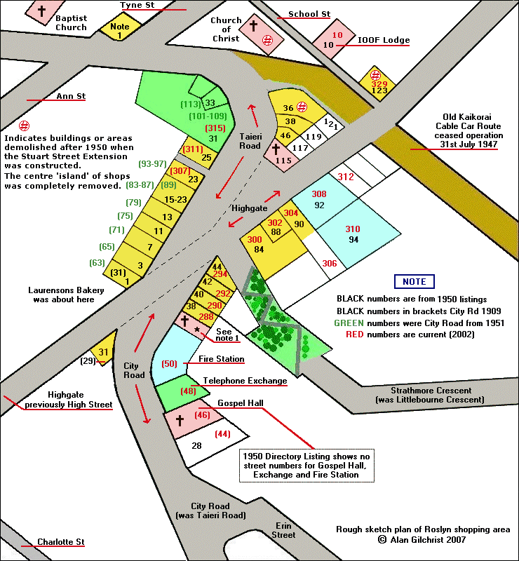 Roslyn Township Shop locations - c1950 A sketch map shows shop locations and list of businesses. |