Kaikorai Street Map 1919
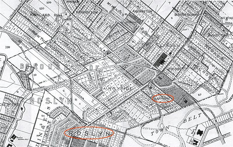
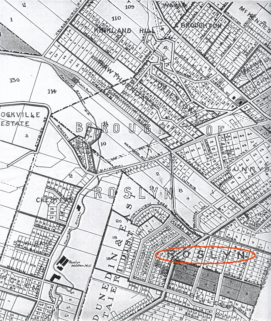
Click to view larger left side of map Click to view larger right side of map
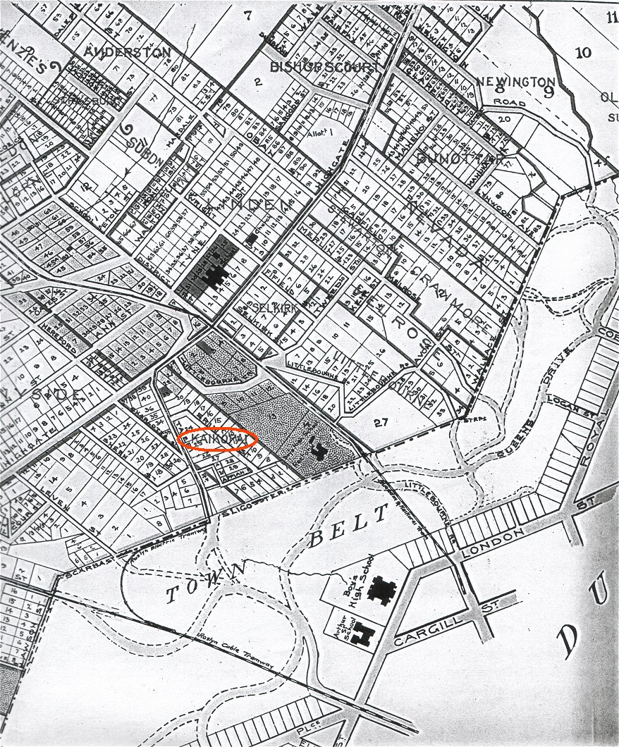
KAIKORAI is shown against an area on the city side of Highgate with Taieri Road (now City Road) on the left and Littlebourne on the right.
FORBESTOWN is shown as the area with Country Road, Wairoa St, Nairn St, Chapel St, and Greenock St.
MELDON LORNE is shown in the Jellicoe Crescent, Nairn St area.
ROSLYN is shown in the Ross Street area in the greater Borough of Roslyn.
SUNNYSIDE is the area between Highgate and Kaikorai Valley Road.
The area where the Nairn Street Reserve is currently located is shown on the map as being marked into what appears to be ¼ acre sections which would include those where Fraser's Bakery was situated.